

- This event has passed.
Field Training for Exploration & Mine Geologists
May 12 @ 9:00 am - May 22 @ 6:00 pm
Professional Development Short Course
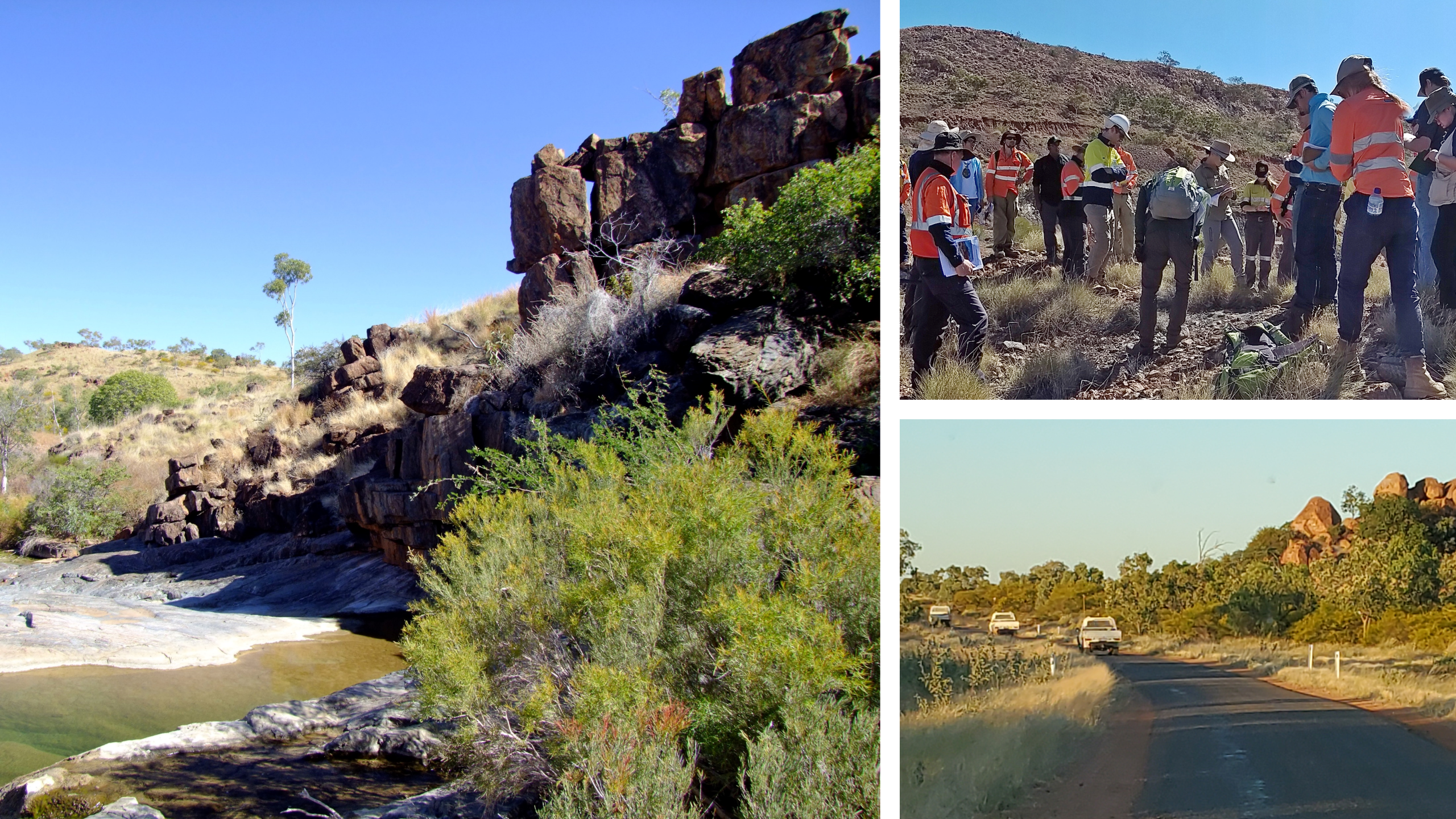
This course is aimed at exploration and mine geologists and covers the basics of geological mapping with some advanced components available for more experienced geologists.
The course will include:
- recognising and mapping structures, rocks and alteration in the field;
- integrating field data and geophysical datasets to map areas of prospective mineralisation.
The mapping will be done in the world-class metallogenic province of Mount Isa and consists of mapping the geology, structure, and alteration around an undeveloped Cu-Au deposit.
Course Structure
2 Modules
Online module: Introduction, Compilation & Interpretation of Datasets (3 – 4 hours/day over 3 consecutive days)
Field module: Mapping in the Mount Isa region (5 full days in the field)
Detailed course information here.


We acknowledge Aboriginal People and Torres Strait Islander People as the first inhabitants of the nation, and acknowledge Traditional Custodians of the Australian lands where our staff and students live, learn and work. Aboriginal and Torres Strait Islander peoples are advised that this site may contain names, images or voices of people who have passed away.