

- This event has passed.
QGIS for Mineral Exploration – Satellite Data
March 18 @ 11:00 am - 3:30 pm
Professional Development Short Course
Module 4
Prerequisites: Completion of Module 1 or previous knowledge of QGIS
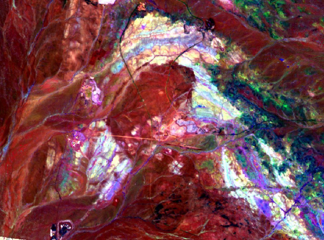
- Satellite data, data sources, NASA and ESA data portals
- Download, display and basic processing of ASTER and Sentinel 2 data
- Band combinations for enhancing geology and regolith in satellite imagery
Detailed course information here.
Daily Session Times
09:00 – 13:30 AWST (Perth)
11:00 – 15:30 AEST (Townsville)
12:00 – 16:30 AEDT (Sydney)


We acknowledge Aboriginal People and Torres Strait Islander People as the first inhabitants of the nation, and acknowledge Traditional Custodians of the Australian lands where our staff and students live, learn and work. Aboriginal and Torres Strait Islander peoples are advised that this site may contain names, images or voices of people who have passed away.