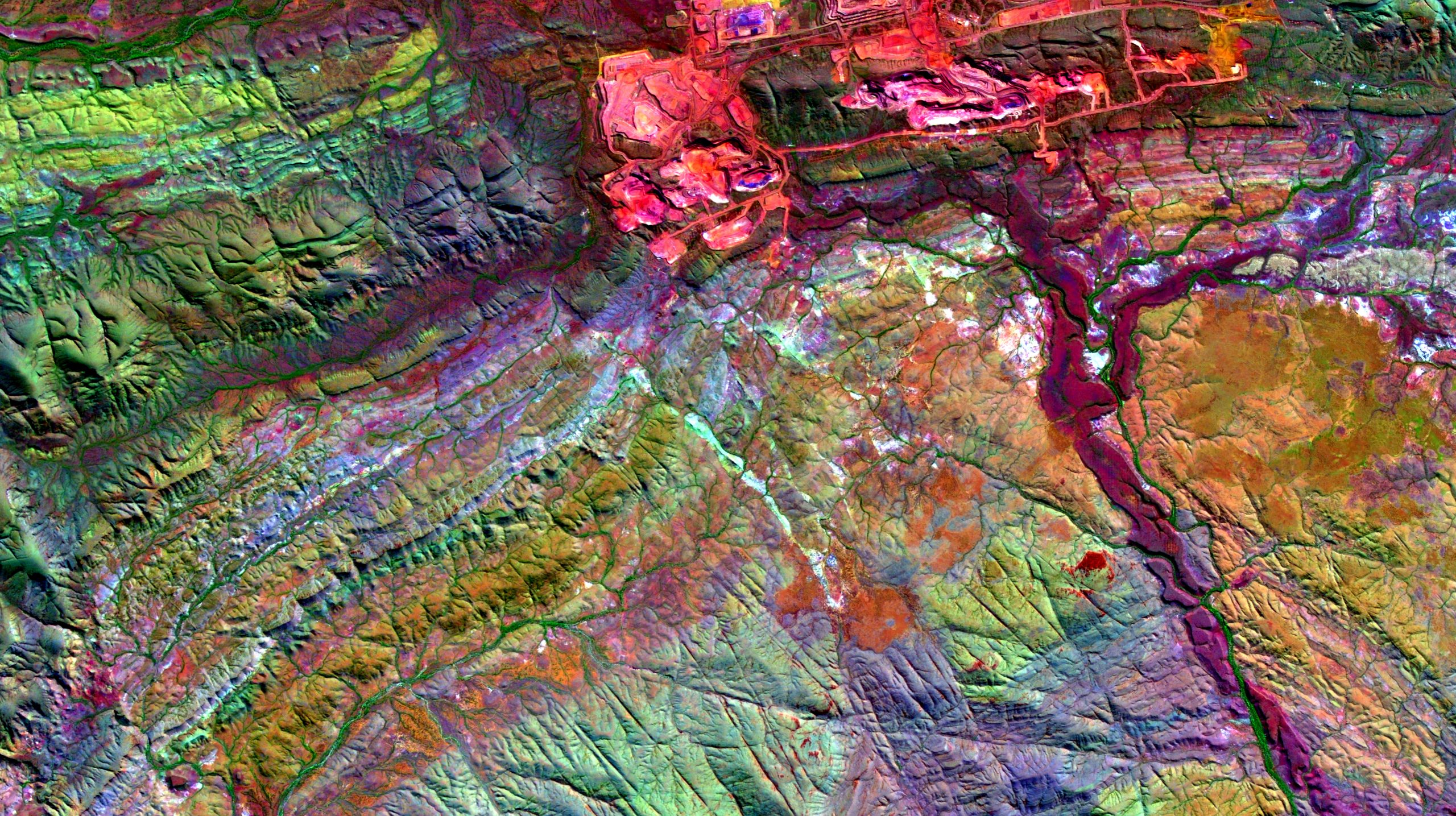
Professional Development Short Course Module 4 Prerequisites: Completion of Module 1 or previous knowledge of QGIS Satellite data, data sources, NASA and ESA data portals Download, display and basic processing of ASTER and Sentinel 2 data Band combinations for enhancing geology and regolith in satellite imagery Detailed course information here. Daily Session Times 08:00 – […]


