EGRU Engagement Day 2023

Rydges Southbank Palmer Street, Townsville, Queensland, Australia

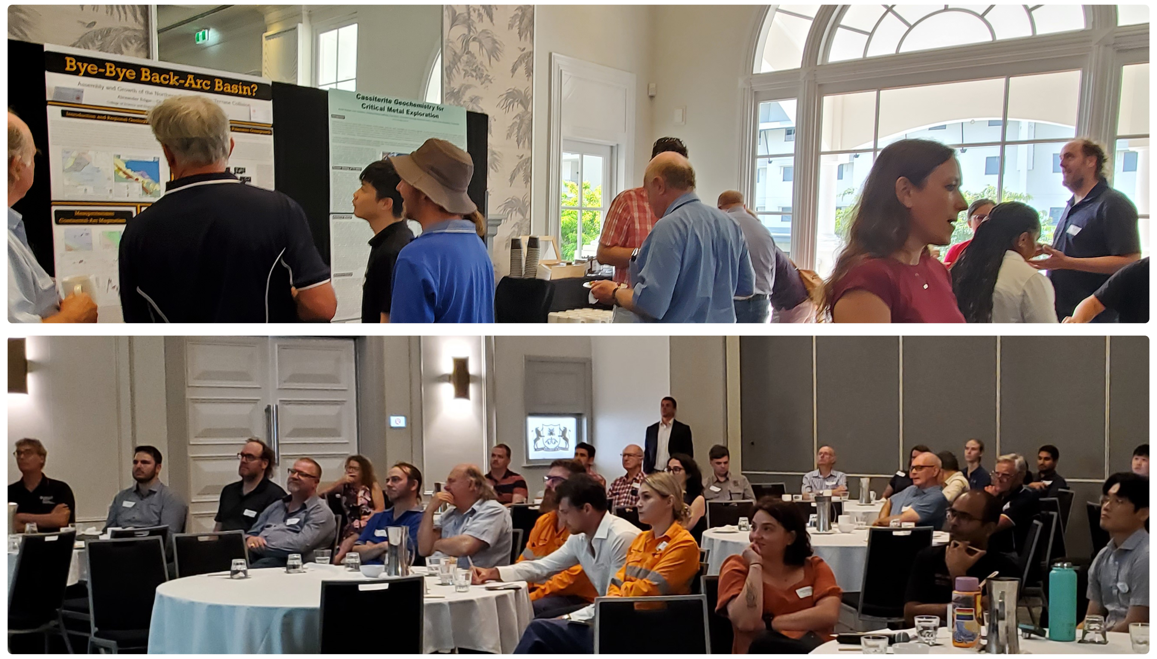
EGRU staff and students invite industry, government and research colleagues to join them for EGRU’s Engagement Day on Friday 3rd of November. The Engagement Day is an opportunity for EGRU to provide updates on its research and training initiatives, to hear from our industry and research colleagues, and to discuss future directions for EGRU’s activities. There […]

Leapfrog Geo Fundamentals for Students

EGRU is collaborating with Seequent and the Australian Institute of Geoscientists (AIG) to offer a short course in Leapfrog Geo Fundamentals for students enrolled in full-time Geoscience Honours or Postgraduate study at an Australian* university. The course will be delivered online in 4 x 4 hour sessions over 4 consecutive days. Course Content Getting started […]

QGIS for Mineral Exploration – Introduction to QGIS

Professional Development Short Course Module 1 Prerequisite:  Basic knowledge of GIS What is QGIS? QGIS interface and menus Menu bars, tool bars and panels Selecting features and the attribute panel Basic map making, use of templates and map legends, adding WMS Creating a map and designing a print layout Add map features, grid, scale bar, […]

QGIS for Mineral Exploration – Importing, Managing & Displaying Data

Professional Development Short Course Module 2 Prerequisites:  Completion of Module 1 or previous knowledge of QGIS On-Line Sources for GIS data gov.au, Landgate, DMIRS, Geoscience Australia QuickMapServices plug-in Basic editing skills, selecting data Create points, lines and polygons Importing GPX files Importing SVG and style files, using the QGIS style manager SVG geological pattern fills […]

QGIS for Mineral Exploration – Drillhole, Geochemical & Geophysical Data

Professional Development Short Course Module 3 Prerequisites:  Completion of Module 1 or previous knowledge of QGIS Drill hole display using the Geoscience plugin Geochemical data import, gridding, contouring and display Geophysical data import, basic gridding and display 3D Visualisation using the QGIS2Threejs plugin Detailed course information here. Daily Session Times 10:00am to 2:30pm AEST (Townsville) […]

QGIS for Mineral Exploration – Satellite Data

Professional Development Short Course Module 4 Prerequisites:  Completion of Module 1 or previous knowledge of QGIS Satellite data, data sources, NASA and ESA data portals Download, display and basic processing of ASTER, Landsat and Sentinel 2 data Band combinations for enhancing geology and regolith in satellite imagery Detailed course information here. Daily Session Times 10:00am […]

Mineral Exploration Management – Module 1

Daily session times TBD. Professional Development Short Course Module 1 Mineral Exploration Management 2 x half-day sessions presented over 2 consecutive days Tuesday 9 April 2024 Managing Mineral Exploration Introduction The Business of Exploration Topical Issues Principles of Management Wednesday 10 April 2024 Business Development Exploration Strategy Creating New Opportunities Identifying New Opportunities Due Diligence […]

Mineral Exploration Management – Module 2

Daily session times TBD. Professional Development Short Course Module 2 Mineral Exploration Management 2 x half-day sessions presented over 2 consecutive days Tuesday 16 April 2024 Day-to-Day Exploration Management The Exploration Process Project Portfolios & Key Decisions Exploration Methods (geology, geochemistry, geophysics, remote sensing, etc) Drilling The Future of Mineral Exploration? Wednesday 17 April 2024 […]

Mineral Exploration Management – Module 3

Daily session times TBD. Professional Development Short Course Module 3 Mineral Exploration Management 2 x half-day sessions presented over 2 consecutive days Tuesday 23 April 2024 Non-Technical Aspects of the Business HR Administration Corporate Governance & PR Health & Safety Environment Community Engagement Wednesday 24 April 2024 Exploration Success McKinsey Study Success Criteria Case Histories […]

Mineral Systems of Northeast Queensland

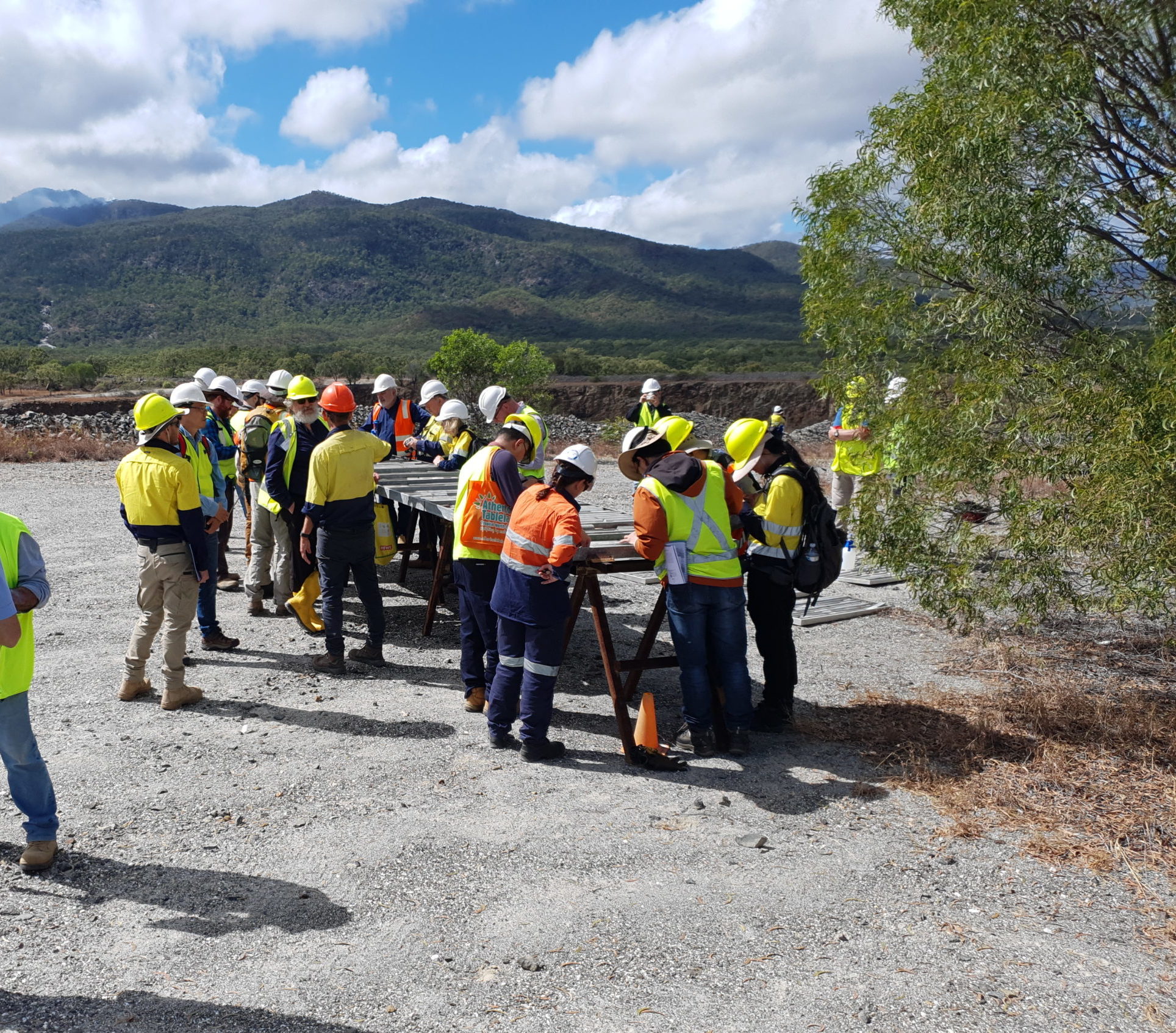
A workshop in the Charters Towers region: One to two days of technical presentations from industry and research geoscientists Core display Field trip to a mineral system in the region   Further information is available here. Please contact us if you’re interested in giving a presentation at the workshop:  EGRU_training@jcu.edu.au  

QGIS for Mineral Exploration – Introduction to QGIS

Professional Development Short Course Module 1 Prerequisite:  Basic knowledge of GIS What is QGIS? QGIS interface and menus Menu bars, tool bars and panels Selecting features and the attribute panel Basic map making, use of templates and map legends, adding WMS Creating a map and designing a print layout Add map features, grid, scale bar, […]

QGIS for Mineral Exploration – Importing, Managing & Displaying Data

Professional Development Short Course Module 2 Prerequisites:  Completion of Module 1 or previous knowledge of QGIS On-Line Sources for GIS data gov.au, Landgate, DMIRS, Geoscience Australia QuickMapServices plug-in Basic editing skills, selecting data Create points, lines and polygons Importing GPX files Importing SVG and style files, using the QGIS style manager SVG geological pattern fills […]

QGIS for Mineral Exploration – Drillhole, Geochemical & Geophysical Data

Professional Development Short Course Module 3 Prerequisites:  Completion of Module 1 or previous knowledge of QGIS Drill hole display using the Geoscience plugin Geochemical data import, gridding, contouring and display Geophysical data import, basic gridding and display 3D Visualisation using the QGIS2Threejs plugin Detailed course information here. Daily Session Times 08:00 – 12:30 AWST (Perth) […]

QGIS for Mineral Exploration – Satellite Data

Professional Development Short Course Module 4 Prerequisites:  Completion of Module 1 or previous knowledge of QGIS Satellite data, data sources, NASA and ESA data portals Download, display and basic processing of ASTER and Sentinel 2 data Band combinations for enhancing geology and regolith in satellite imagery Detailed course information here. Daily Session Times 08:00 – […]

Ore Textures & Breccias: Recognition Techniques

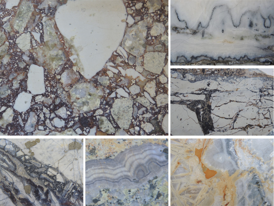
Professional Development Short Course Content This three-day course covers the fundamentals of textural observation and interpretation in mineralised hydrothermal systems. The techniques used are simple, highly effective and require no specialised equipment for their implementation. The techniques are also extremely practical in that they generate numerous questions concerning the mineralisation being studied and commonly provide […]

Exploration Geochemistry – Data Acquisition, Quality Assessment & Management

Daily session times TBD. Professional Development Short Course Module 1 Data Acquisition, Quality Assessment & Management A 1 day course presented over 2 days Geochemical sampling strategies, sample preparation and analytical methods, quality assurance and quality control (QA/QC), and basic data management An A to Z of designing, implementing and reporting geochemical data in compliance […]

Exploration Geochemistry – Exploratory Data Analysis using ioGAS

Daily session times TBD. Professional Development Short Course Module 2 Exploratory Data Analysis using ioGAS A 1 day course presented over 2 days A structured approach to both univariant and multivariant exploratory data analysis of geochemical data in the best interpretive software available – ioGAS. A key focus of the approach will be the attribution […]

Exploration Geochemistry – Integration of Geochemical, Mineralogical & Geological Data

Daily session times TBD. Professional Development Short Course Module 3 Integration of Geochemical, Mineralogical & Geological Data A 1 day course presented over 2 days Builds upon the use of ioGAS to integrate geochemical, mineralogical and geological data. Participants should either have completed Module 2 of the series or have some experience in use of […]

Mineral Systems of North West Queensland

Mount Isa Queensland, Australia

A workshop in the Mount Isa region: One to two days of technical presentations from industry and research geoscientists Core viewing Field trip Further information will be available in early 2025. Programs from previous workshops can be found here. Please contact us if you’re interested in giving a presentation at the workshop:  EGRU_training@jcu.edu.au  

We acknowledge Aboriginal People and Torres Strait Islander People as the first inhabitants of the nation, and acknowledge Traditional Custodians of the Australian lands where our staff and students live, learn and work. Aboriginal and Torres Strait Islander peoples are advised that this site may contain names, images or voices of people who have passed away.